


Wednesday 20 September 2023
| Distance (km) | 14 kms | |||
| Distance (time) | 4.5 hrs | |||
| Climb / Descent | 560m / 750m | |||
| Hard / Soft surface | 20% / 80% | |||
| Landscape |
|
|||
| Weather |
|
|||
|
|
||||
|
On Saturday the weather was seriously lousy (see first little movie taken from the sanitary block - aka our shelter - on the camping site) and
Sunday was ok-ish, but not ok-ish enough to walk. Monday was again rainy most of the day and finally Tuesday it cleared up enough to pack
our basecamp. For a night we will stay on the camping site in Lantosque while already putting a car in Levens so that the next day (that is today)
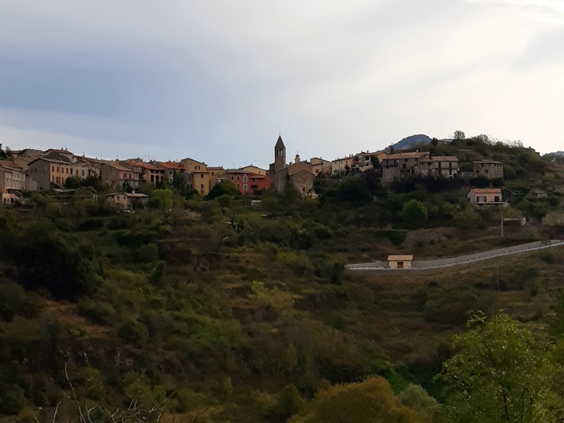
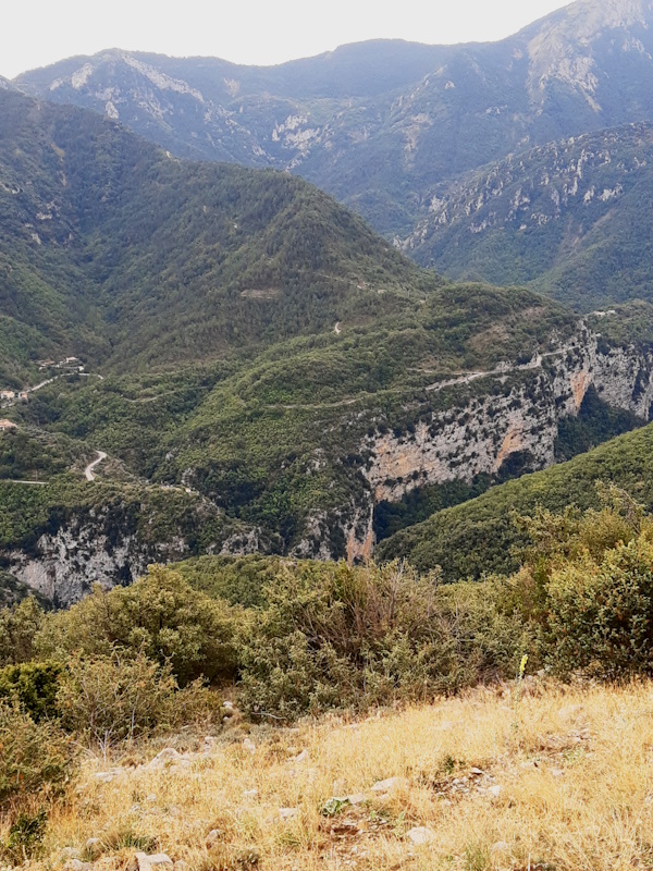
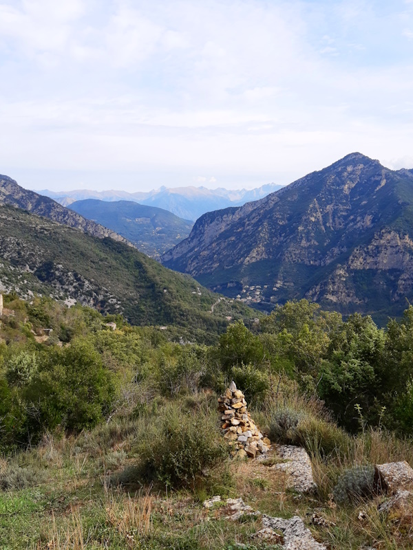
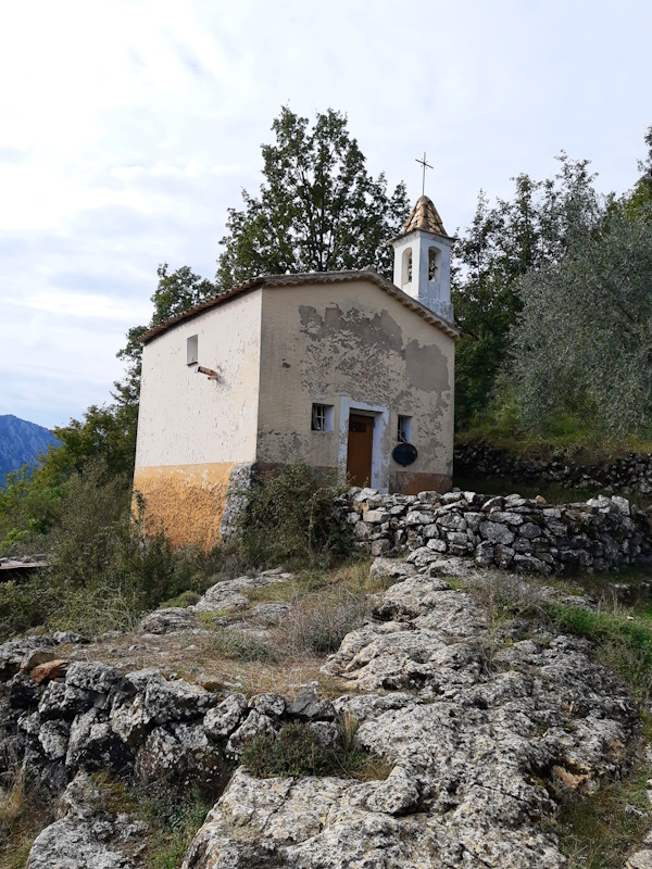
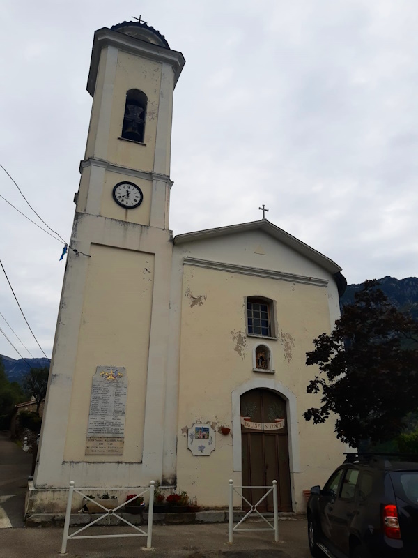
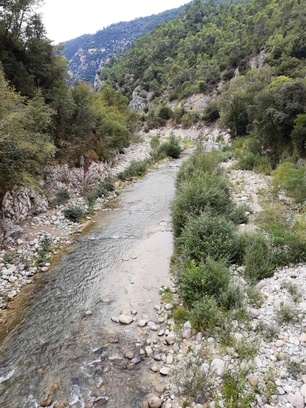
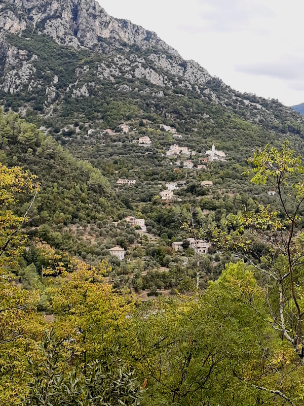
we can go straight to Utelle and walk. We don't want to lose time because it is said to rain after 13:00. The sky is veiled when we start in Utelle and the sun only occasionally peeps through. We started later than we wanted for unclear reasons apart from just being to slow in the morning. So let's hope the rain is delayed or we are fast today. The first little part out of Utelle descends quite steeply over some concrete stairs bringing us to an old path along the mountain side that rolls up and down a bit. On average we do descend, but only very little. The first part until the path switches back in the Vallon de l'Aclap we path through rocky terrain with some bushes here and there, but after the switchback we suddenly enter woods and the track becomes softer under the feet. And we get the nice smell of pine now to add to the Mediterranean feeling. We arrive at Chapelle St.Antoine that doesn't seem to be in mint condition anymore and we briefly enjoy the view. We keep slowly descending until we are at about 600m altitude, from that point the path starts zigzagging down to the tiny village Le Cros d'Utelle. It is 11:45 now and we decide to have a short break to eat something. We still have to go down to the main road at under 200m altitude (Le Cros is at 350m) and back up to 580m altitude. The climb from the road to Levens is supposed to be 1.5 hours plus the descent: it is unlikely we make it before the rain unless the rain will be really late. So, fast lunch and on our way again. We descend pretty fast and at 12:15 we cross the main road. We have to get a bit lower to the bridge over the Vésubie river (Pont de Cros) and then back up. It is a serious climb zigzagging up and we decide to waste no time. I'm leading and I try to climb as fast as possible without losing Lupita. Soon we can see the edge of the plateau on which Levens is situated and the weather is still OK. We pass the local garbage dump and a bit further cross the M19 road from down the Vésubie valley to Levens. We have the town on our right hand side now and though the track is mostly flat, it has some difficult passages here and there when climbing over rocks either up or down. And the bad news is ... we feel the first drops of rain. We get back to the main road and pass the, in our view, not so goodlooking hospital. At the crossing here the GR5 goes right to make a loop along the town before returning to the main road again. But since it is starting to rain we decide to skip the loop and follow the main road to the Grand Pré where our hotel is. We maybe in Levens already, but it is still 1.5 km to the hotel and the rain is getting more serious. So we try to walk under the trees as much as we can towards the hotel where our car is parked. We reach the car, but should we check in first, or first get the other car from Utelle? We decide to do the latter and so we drive to Utelle where it is dry and seeing the road it hasn't rained here yet. With both cars we drive to Levens again and until St.Martin-du-Var it is dry, but climbing to Levens we enter the rain and in Levens it is soaking wet. But hey, we have a hotel tonight, so who cares. |
       |
|||
|
|
||||
Download track UteLev.gpx